

Bookspeed
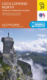
Explorer OL39: Loch Lomond North
£12.99
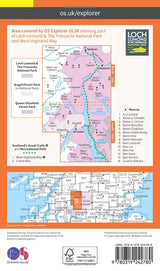
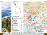
Whatever you are looking to do, this OS Explorer map will give you the outstanding level of detail you'd expect from OS. With clear markings of roads, public right of ways, paths and tracks, cycle ways and areas of open access land, alongside our familiar tourist information, you'll get all the detail you need to make the most of the Great British outdoors. This map covers part of Loch Lomond and The Trossachs National Park and the West Highland Way, showing Tyndrum, Crianlarich and Arrochar.
- Author: Ordnance Survey Explorers
- Format: Paperback
- Illustrated: Colour map
- Dimensions: 231mm x 135mm
